

GTA 6 Map and Locations: Exploring Vice City and the State of Leonida
GTA 6 Map: All Major Regions, Cities, Neighbourhoods, Roads and Highways
Grand Theft Auto VI takes players to Leonida, a fictional US state inspired by Florida. Developed by Rockstar Games, the game features Vice City as its primary urban setting, alongside coastal towns, tropical islands, wetlands, industrial areas and a national park. The world extends well beyond the city, offering several distinct environments and locations to explore.
Rockstar has officially introduced six major destinations in Leonida: Vice City, Leonida Keys, Grassrivers, Port Gellhorn, Ambrosia and Mount Kalaga National Park. While these locations provide an overview of the game’s geographical setting, Rockstar has not published a complete official map showing the entire road network, exact regional boundaries or total playable area. Available interactive maps are community-created reconstructions based on publicly released material.
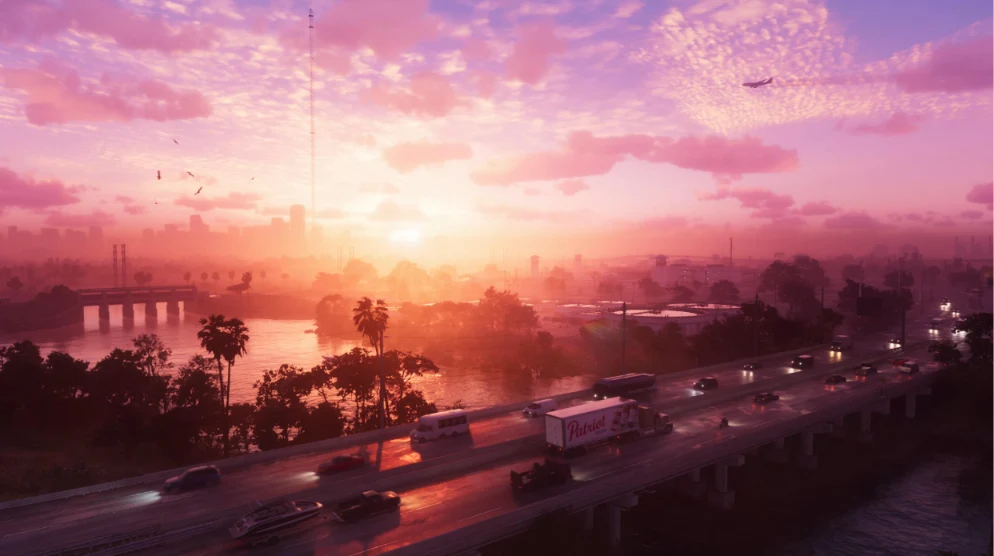
Vice City is the central urban location in GTA 6 and draws inspiration from Miami. Its environment includes beaches, residential neighbourhoods, commercial districts, hotels, skyscrapers and port facilities. Recognisable locations include Ocean Beach, Little Cuba, Downtown Vice City, Washington Beach, Stockyard and Vice City Port. Other named landmarks include the Ocean View Hotel, Tisha-Wocka Flea Market, Megamundo Tower, Hotel Dixon, Jack of Hearts nightclub and Effluvia rooftop lounge. Vice City International Airport is another prominent location in the wider urban setting.
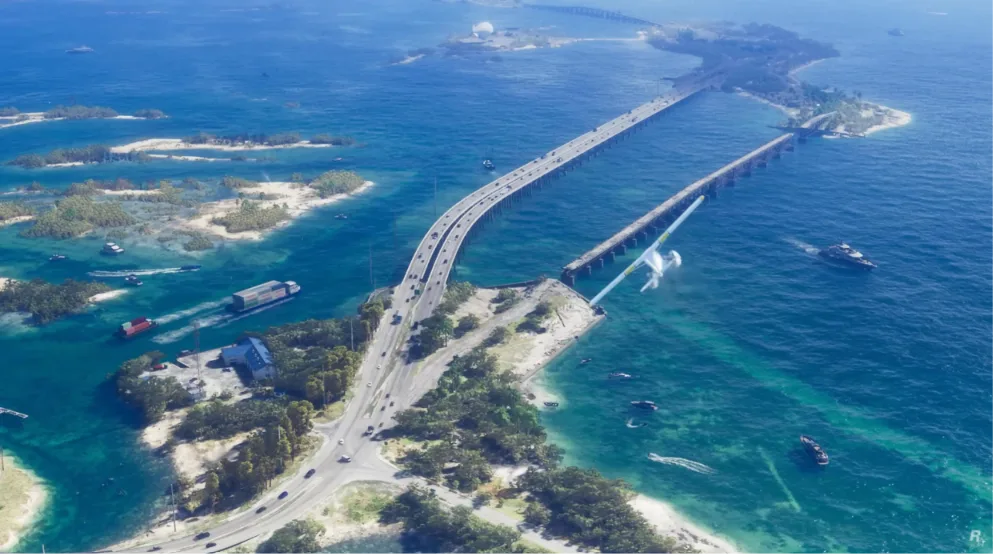
The Leonida Keys form a tropical island region connected by roads and bridges. The area features beaches, marinas, coastal establishments and waterways. Key Lento and Brian’s Boat Works and Marina are among the names associated with this region in community location directories. The surrounding environment places considerable emphasis on coastal exploration and water-based travel.
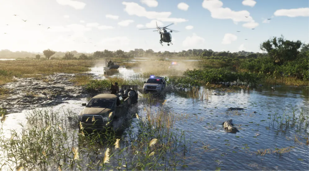
Grassrivers represent Leonida’s wetland environment, drawing inspiration from Florida’s Everglades. Its landscape includes mangroves, shallow waterways, swamps and wildlife. Alligators and airboats are among the elements shown in promotional material. Watson Bay and Sunrise RV Park are names associated with the region in location databases.
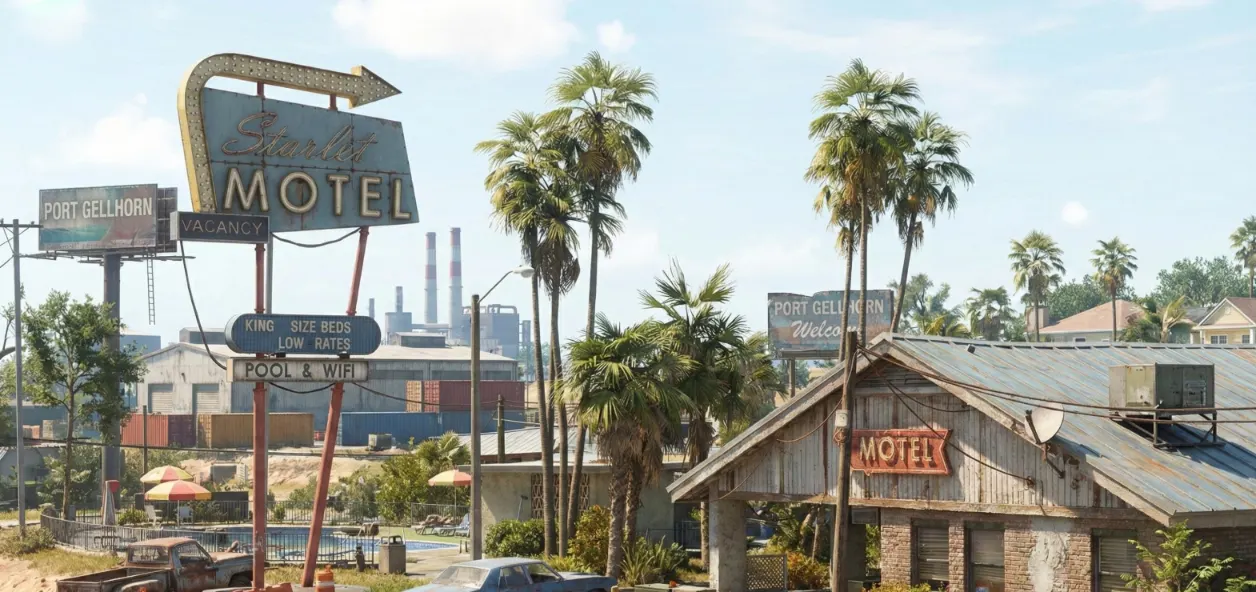
Port Gellhorn is a coastal town with a noticeably different atmosphere from Vice City. Rockstar’s descriptions highlight inexpensive motels, closed attractions and declining tourist infrastructure. Named locations associated with the area include Starlet Motel, Delights Cabaret, Draper Island, Gellhorn International Raceway, Hank’s Waffles and Gellhorn Roadhouse.
Ambrosia represents Leonida’s industrial and agricultural side. One of its most recognisable landmarks is the Allied Crystal Sugar Refinery. The region also features a local motorcycle gang and industrial surroundings. Other names appearing in community directories include Thrillbilly Mud Club, Ambrosia Raceway Park and Tucker’s Citrus Farms.
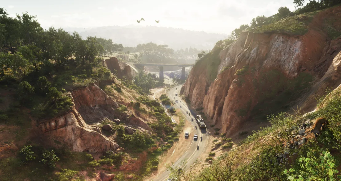
Mount Kalaga National Park occupies Leonida’s northern landscape. Its environment features forests, rivers, elevated terrain and outdoor recreation opportunities. Rockstar has specifically highlighted hunting, fishing and off-road exploration as activities associated with the national park.
Roads and highways are another important part of Leonida’s geography. Community map reconstructions identify routes such as Interstate 397, Interstate 97, Interstate 404, US Route 1, Route 9, Shore Drive and Catalan Boulevard. Bocamar Bridge is another named crossing associated with Port Gellhorn. These identifications should be treated carefully because Rockstar has not published an exhaustive official road directory or verified the complete reconstructed network.
Leonida’s geographical references also include five county names in community mapping: Vice-Dale, Leonard, Kelly, Mariana and Lummox. However, exact county boundaries and their complete geographical coverage have not been officially established in a published map.
Players interested in exploring the geography can refer to community mapping projects such as LeonidaKit, GTAMI, GTAScoop and GTA6Everything. These platforms catalogue landmarks, buildings, transportation points and other locations, with some offering road layers and search filters. LeonidaKit, for example, provides more than 2,400 mapped entries, distinguishing officially named places from sighted locations and reconstructed points.
Ultimately, Leonida’s six publicly identified destinations establish the geographical foundation of GTA 6. Vice City’s urban landscape, the Keys’ coastal setting, Grassrivers’ wetlands, Port Gellhorn’s declining tourist areas, Ambrosia’s industrial environment and Mount Kalaga’s natural terrain give the game a varied setting. The complete official map and its final road network remain separate from the reconstructions available through community mapping projects.